The Paper Town That Refused to Stay Fiction
In the shadowy world of mapmaking, where corporate espionage involves stolen coordinates instead of state secrets, two cartographers in the 1930s planted what they thought was the perfect trap. They invented a town that didn't exist, gave it a name, and waited for competitors to steal it.
Then reality had the audacity to make their fiction come true.
The Birth of a Phantom Settlement
Otto G. Lindberg and Ernest Alpers, working for the General Drafting Company, faced a problem that plagued every mapmaker: how do you prove someone stole your work? In the 1930s, creating accurate maps required expensive surveying, field research, and countless hours of verification. Rival companies could simply copy your finished product and sell it as their own.
 Photo: Otto G. Lindberg, via c8.alamy.com
So Lindberg and Alpers devised an elegant solution. They would plant fictional locations – "paper towns" or "trap streets" – in their maps. If these invented places showed up on a competitor's map, they'd have ironclad proof of copyright infringement.
For their masterpiece of cartographic deception, they chose a quiet intersection of two dirt roads in the Catskill Mountains of upstate New York. They named their fictional settlement "Agloe," an anagram combining the first two letters of their surnames: Alpers and General Drafting Lindberg cOmpany, plus E for good measure.
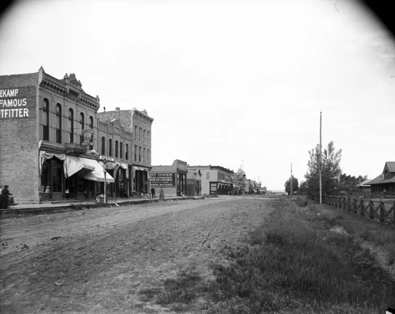
 Photo: Catskill Mountains, via static.actu.fr
Agloe appeared on their 1930s New York State highway map as a small dot with a name, suggesting a tiny community nestled in the rural landscape. It was, they believed, the perfect copyright trap – remote enough that no one would visit to verify its existence, distinctive enough that its presence on another map would be obvious theft.
The Trap Springs... Sort Of
The plan worked exactly as intended. Rand McNally, General Drafting's main competitor, eventually published maps showing Agloe, New York. Lindberg and Alpers had caught them red-handed.
But when General Drafting's lawyers prepared to file suit for copyright infringement, Rand McNally's defense was startling: they claimed they hadn't stolen the name from General Drafting's map. Instead, they insisted their cartographers had discovered Agloe during legitimate field research.
This should have been impossible. Agloe was fiction, a deliberate lie planted by its creators. How could field researchers independently "discover" a town that existed only on paper?
When Fiction Writes Itself Into Reality
The truth was stranger than anyone imagined. Sometime in the 1950s, a man named Gordon T. Spann had opened a small general store at that exact intersection of dirt roads. And he had named his establishment the "Agloe General Store."
Spann later explained that he'd chosen the name after seeing it on a map. Travelers would occasionally stop by asking for directions to "Agloe," so he figured it must be the name of the area. By putting up a sign and calling his store "Agloe General Store," Spann had inadvertently transformed the mapmakers' fiction into fact.
When Rand McNally's field researchers visited the intersection years later, they found a real business with "Agloe" on the sign. From their perspective, they were simply documenting an existing place name, not copying from a rival's map.
The Philosophical Crisis of Cartography
This created an unprecedented situation in the mapping world. General Drafting had invented Agloe as a fictional copyright trap. But now Agloe actually existed – sort of. Was it still fictional if someone had built a real business there using the fake name?
The case raised questions that sounded more like philosophy than law. If you invent a place name and someone uses it to name a real location, does the place become real? Can reality retroactively validate a lie? Who owns the copyright to a fiction that becomes fact?
General Drafting ultimately dropped their lawsuit. How do you sue someone for "stealing" a place that now legitimately exists? Rand McNally hadn't copied their map – they had documented the real-world consequences of their map.
The Legacy of Accidental Geography
Agloe's story didn't end there. The general store eventually closed, but the name persisted on various maps for decades. Some cartographers continued including it out of tradition, others because they weren't sure whether it was real or fake. The intersection retained a kind of liminal status – not quite a town, but more than nothing.
In 2014, Agloe gained unexpected fame when it appeared in John Green's novel "Paper Towns," which was later adapted into a movie. Suddenly, the fake town that had become accidentally real was fictional again, but this time intentionally so.
 Photo: John Green, via moto-adamek.cz
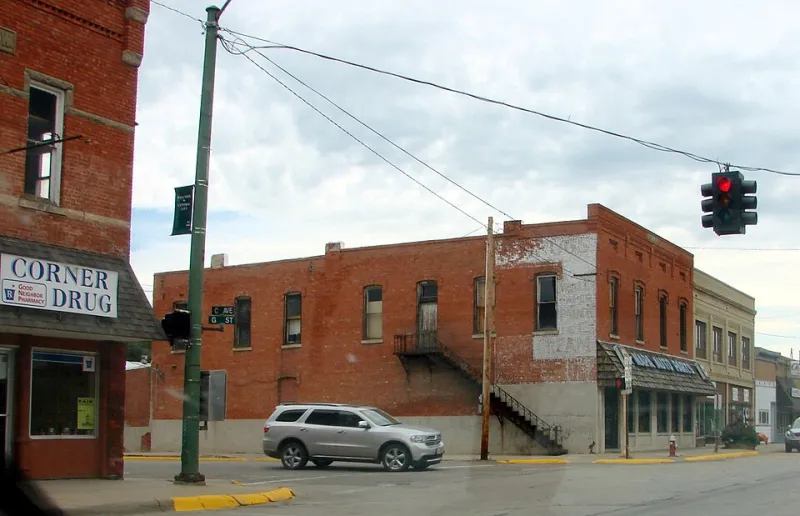
Today, if you drive to the intersection of Morton Hill Road and Beaverkill Road in Delaware County, New York, you'll find... not much. No store, no sign, just two rural roads meeting in the woods. But GPS systems and online maps still sometimes show "Agloe" at that location, a digital ghost of a place that was never supposed to exist.
The War Behind the Maps
Agloe's story reveals the hidden battle that shaped how we navigate the world. For decades, mapping companies waged secret wars through invented geography. Streets that led nowhere, mountains that weren't there, and towns populated only by the imaginations of cartographers littered maps across America.
Some trap streets still exist today. Mapmakers continue planting fictional locations to catch digital pirates who steal geographic data. But the age of GPS and satellite imagery has made these traps harder to maintain. It's difficult to invent a street when anyone can verify its existence with a smartphone.
Agloe remains the most famous example of a copyright trap that backfired by becoming real. It's a reminder that maps don't just document reality – they shape it. Put something on enough maps, and eventually someone might build it.
In the end, Agloe's greatest trick wasn't fooling map thieves. It was fooling reality itself, proving that sometimes the line between fact and fiction is just a matter of who's willing to put up a sign.