The Accidental Land Baron: How a Surveyor's Error Made a Cattleman the Uncrowned King of New Mexico
The $500 Purchase That Broke the Map
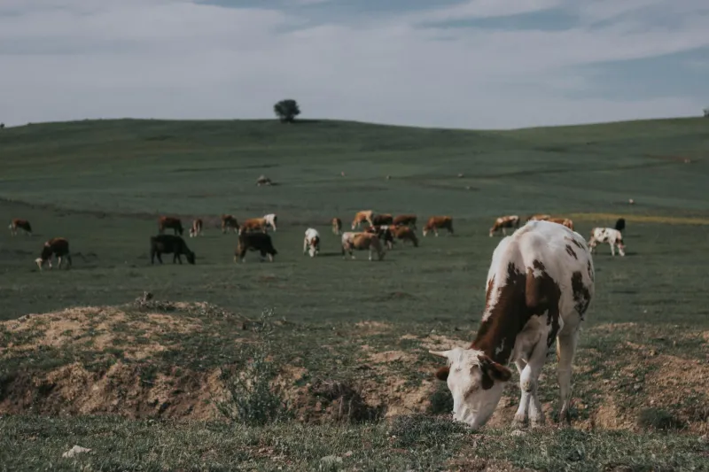
Jim Patterson wanted nothing more than enough land to graze a few dozen cattle. In 1951, the former Navy mechanic spotted an ad in the Albuquerque Journal for 640 acres of "prime grazing land" in Socorro County, priced at what seemed like a steal: $500. The seller, a distant heir to a Spanish land grant, just wanted to be rid of property he'd never seen. Patterson handed over the cash, received a deed, and figured he'd found his piece of the American Dream.
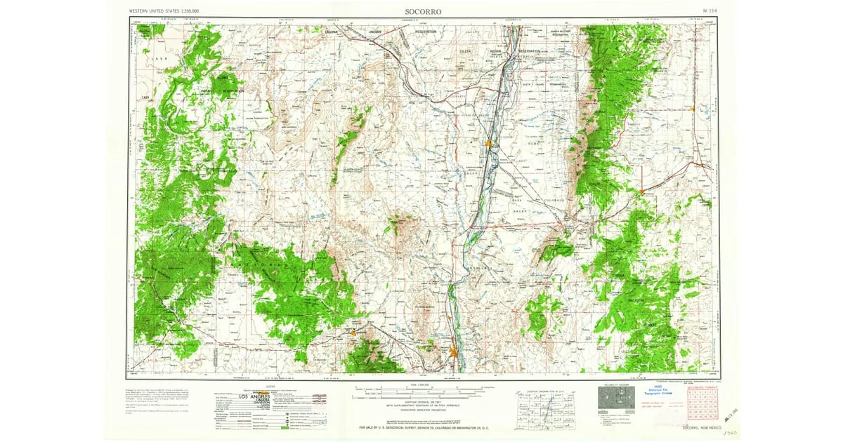 Photo: Socorro County, via static.pastmaps.com
For twenty years, Patterson worked his modest spread, never bothering to walk its full boundaries. Why would he? The deed clearly stated 640 acres—one square mile of high desert, perfect for his small herd. He built a modest ranch house, dug a well, and lived the quiet life of a small-time cattleman. He had no idea he was sitting on one of the most spectacular surveying errors in Western history.
The Phone Call That Changed Everything
In 1971, Patterson's peaceful existence ended with a phone call from a lawyer in Santa Fe. A mining company wanted to lease mineral rights on his property, and their geological survey had turned up something impossible: Patterson's 640-acre ranch appeared to extend across three counties and encompass nearly half a million acres of federal land.
"Mr. Patterson," the lawyer said carefully, "we need to discuss your property boundaries. There seems to be some... confusion about what you actually own."
The confusion, it turned out, dated back to 1847, when American surveyors had attempted to map Spanish and Mexican land grants after the Treaty of Guadalupe Hidalgo. The particular grant that included Patterson's land—the Cañada de los Alamos Grant—had been described in the original Spanish documents using landmarks that no longer existed and distances measured in "varas," an archaic Spanish unit that varied by region.
When Maps Lie and Lawyers Weep
The American surveyors who mapped Patterson's grant in the 1880s had made a catastrophic error. They'd confused two different mountain ranges mentioned in the original grant documents, placing the eastern boundary 200 miles further east than intended. Instead of a 30,000-acre grant, they'd inadvertently created a 850,000-acre monster that stretched from the Rio Grande to the Texas border.
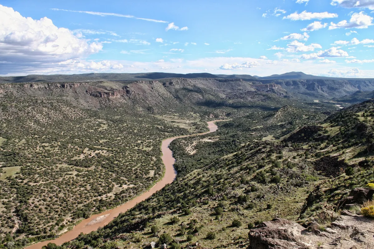 Photo: Rio Grande, via ugc.naturalatlas.com
For seventy years, nobody noticed. The federal government had been managing hundreds of thousands of acres that legally belonged to whoever held the grant deed. When Patterson bought what he thought was a small piece of the grant, he'd actually purchased the entire thing—including mineral rights, water rights, and legal claim to land that housed military installations, national forest, and several small towns.
The Landowner Who Didn't Want an Empire
Patterson's first reaction wasn't celebration—it was panic. "I just wanted to raise cattle," he told reporters. "I never wanted to own half of New Mexico." The legal implications were staggering. Technically, Patterson could claim ownership of Interstate 25, several Air Force radar installations, and portions of the Rio Grande National Forest.
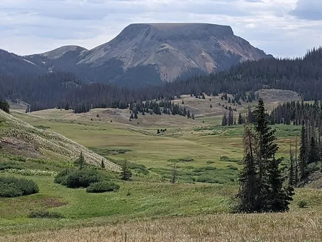 Photo: Rio Grande National Forest, via www.urtrips.com
The federal government's response was swift and predictable: they challenged Patterson's claim in court, arguing that the original survey error was so obvious that it invalidated the entire grant. Patterson, meanwhile, found himself fielding calls from oil companies, mining corporations, and real estate developers who saw his accidental empire as the deal of the century.
The Settlement That Made History
The legal battle stretched on for six years, generating enough paperwork to fill a small warehouse. Patterson, who just wanted to return to raising cattle, eventually agreed to a settlement that made everyone moderately unhappy—the hallmark of successful negotiations.
Under the 1977 agreement, Patterson kept 47,000 acres of his choice, plus $12 million in compensation for relinquishing his claim to the rest. The federal government retained most of the accidentally-granted land, while the state of New Mexico received a substantial chunk for a new state park.
Patterson used his settlement money to buy a proper ranch in Montana, far from the surveying chaos of the Southwest. "I learned my lesson," he said in his final interview about the case. "Next time I buy land, I'm walking every inch of it myself."
The Map That Ate New Mexico
The Patterson case revealed just how chaotic land ownership in the American West really was. Spanish and Mexican grants, American territorial surveys, federal homestead laws, and state boundary adjustments had created a legal maze that even today occasionally produces surprises.
Patterson's accidental empire remains the largest private land claim in New Mexico history, even though he owned it unknowingly and gave most of it back. The case established important precedents about surveying errors and good faith purchases, but perhaps more importantly, it reminded everyone that in the West, you never really know what you own until you walk the fences.
The Moral of the Boundaries
Jim Patterson's story reads like a fever dream of American capitalism—the ultimate real estate windfall that nobody wanted. His case proves that sometimes the biggest fortunes come from the smallest mistakes, and that in the American West, the difference between 640 acres and 640,000 acres can come down to a surveyor having a bad day in 1885.
Today, Patterson's former "empire" is managed by the Bureau of Land Management, the National Forest Service, and the state of New Mexico. But somewhere in the federal archives sits the original deed to the Cañada de los Alamos Grant, a document that briefly made a small-time cattle rancher the accidental king of half a state.